Rupert Parker dons his hiking boots and follows the Alta Via long-distance trail that crosses Liguria.
Hiking is taken seriously in Italy and there are a number of long-distance trails, some of confusingly sharing the Alta Via name. The most famous trail is in the Dolomites and, although the Alta Via dei Monti Liguri was created over 30 years ago, it’s almost unknown outside the region. It certainly deserves more recognition as you get to traverse the entire length of Liguria, starting in Ventimiglia and ending in Ceparana.
You can do its 44 stages either on foot, a distance of 430km, or by mountain bike, although that’s more than 100km longer. It crosses the Ligurian Alps and Apennines following the coast but always staying on the high ground at around 1000m. As a result, although you see the sea at every turn you never get close enough to swim.
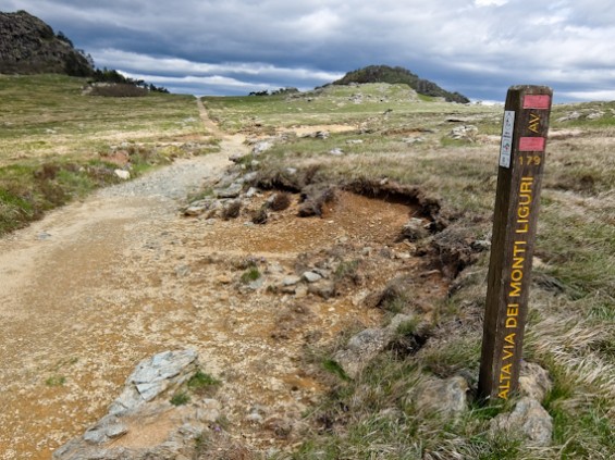
This is not difficult hiking, rather more a pleasant stroll, and a network of more than 100 B&B’s along the trail ensures you always have somewhere to stay every night. Some of them are a short distance from the path but they’ll pick you up and even transfer your luggage. If you get into trouble or need information there’s a 24-hour helpline. Food is copious and rustic but, as always in Italy, extremely satisfying.
I have a couple of days free in Genoa, so decide to do two sections to the West of the city.
DAY 1 Prato Rotondo – Monte Beigua – Passo del Faiallo
I overnight in Albergo Monte Cucco in Alberola where a delicious dinner sets me up for the next day’s walking. The rain has cleared by the morning but there’s a strong cold wind. The sun does make an appearance and the light is stunning. I get a lift to my start point, Prato Rotondo in the Beigua Regional National Park. Below me on the coast are the villages of Cogoleto and Arenzano and there’s a gentle climb to the Frattin summit at 1145m. There are no trees here so the views are tremendous with Genoa appearing in the distance.
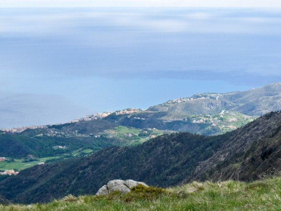
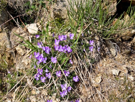
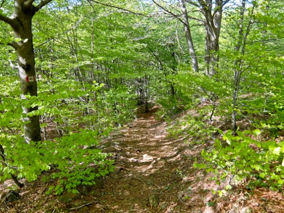
The spring flowers are out, including the rare Bertoloni violet, only found in this region. This is easy walking with glorious sea views all the way and Genoa appearing in the distance. After around nine km, I enter beech woods and gently descend to the Passo del Faiallo, my final destination for today. This was once an important crossing for the salt roads that connected Liguria to Piedmont.
Day 2 Passo del Turchino – Colle Gandolfi – Colla di Praglia – Prato Persegin -Gorzente Lakes – Passo della Bocchetta
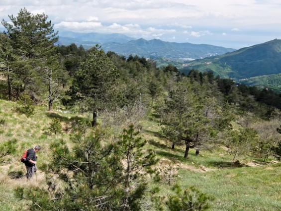
My overnight in B&B Le Giutte and next morning the sun is out and the wind is gentle. I start at Passo del Turchino at 532m cheating slightly as I’m missing out the three-hour walk from Passo del Faiallo. The dirt track is initially flat through woodland but then starts to climb fairly steeply up to Colle Gandolfi. I’m now on the edge of the Capanne di Marcarolo Natural Regional Park and in the distance, to the west, I can see the snow-covered Alps
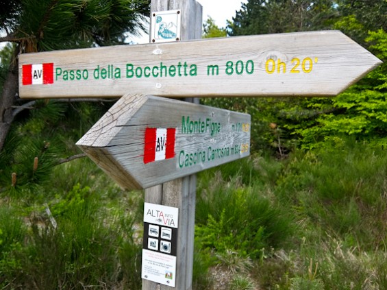
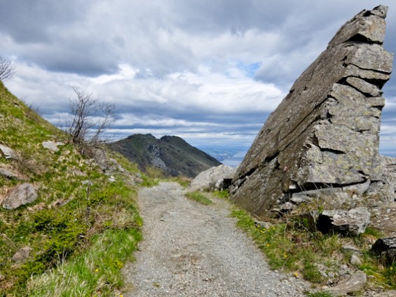
Continuing on the ridge I’m gradually descending to an asphalt road which I follow for a short distance before veering off to climb through woods up to Passo Mezzano at 1063 m. Below me, I can see the Laghi del Gorzente, three lakes built to provide water for Genoa. Looking towards the coast, I can see the shrine of Nostra Signora della Guardia (“Our Lady of the Watch”) located on the top of Monte Figogna. I skirt the sides of Monte Leco, with its mass of radio masts before reaching a solitary antenna where I join a cobbled road. This leads me to down to Passo della Bocchetta at 776 m.
Claudio Simonetti meets me and takes me to his B&B Casa Torre in Campomorone where he cooks me dinner. He’s the main contact for walkers and bikers along the route. Surprisingly he always answers the dedicated phone line and is fluent in French and English, useful as most B&B owners only speak Italian. He tells me that, as well as giving advice, there are times when he rescues walkers – either they’ve got lost or have been trapped by the weather.
My final night is at the comfortable and quiet Agriturismo La Costa in Mignanego before returning to Genoa, only around 20 km away. These two days have given me a taster of the route and, from what I’ve seen, I’d love to tackle the whole thing. Of course, it’s a big commitment but you could do it in two stages starting or finishing in Genoa. That way you’d have added bonus of being able to explore the city.
Tell Me More About The Alta Via Dei Monti, Liguri
Altavia Info 24H has information about the walking and cycling routes, including detailed directions. Free 24 hour telephone: +39.338.16.29.347
The Association for Hospitality on Alta Via dei Monti Liguri has details of accomodation along the route.
Visit Genoa has information about the city.
Lamialiguria has information about the region.
Be Active Liguria has information about outdoor activities.
Ryanair and British Airways both fly direct to Genoa from London.


Beautiful article!